
GIS, Mapping & Spatial Data Management

Visual Resource Analysis:
We offer visual resource analysis for various levels, from sightline sketches to realistic digital terrain models (DTMs).
All our digital terrain modeling uses “eco-modeler” technology to capture accurate foliage, ground effect, and forest cover base maps, producing high-quality two and three-dimensional maps.
Whether it’s a road, cut block, silviculture prescription, or property, we can survey, process, and produce the best plan for your needs.

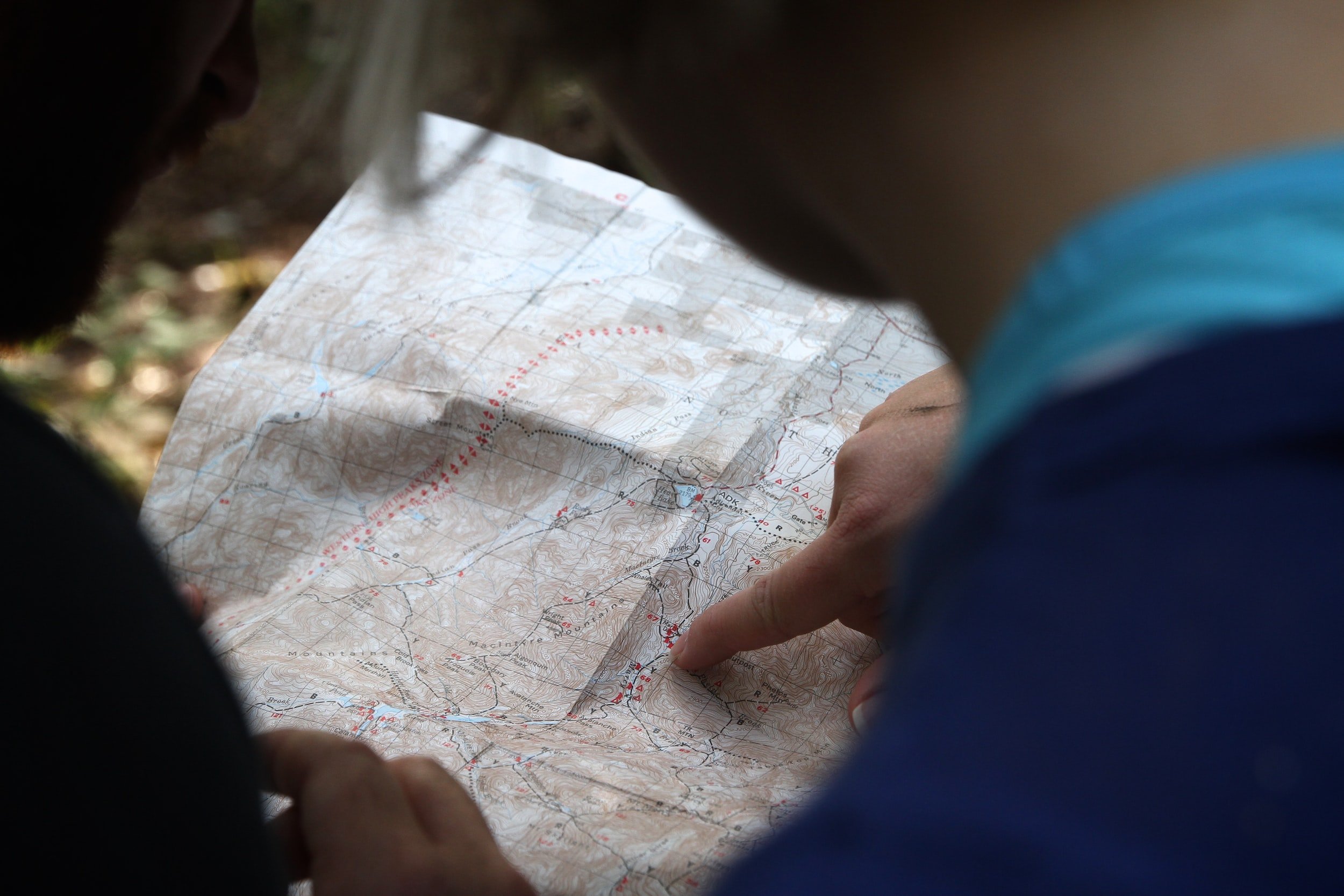
GPS Services:
With technology constantly changing, Silvicon succeeds at keeping pace with industry improvements, utilizing the newest technology in the field or in digital mapping.
We use high-quality GPS tools on all our projects, processed by our GIS team to ensure our clients receive the most accurate data possible.
Whether you're looking to have complex features collected in the field or analyze data with professional software, Silvicon has the expertise to finish your project.

GIS and Mapping:
Our in-house GIS team uses the most up-to-date programming to process field collection data and to provide support to our field crews and clients.
Modern programming includes; geospatial processing programs such as ArcGIS Desktop and ArcGIS Pro to display, analyze, and maintain spatial datasets. We also use several geoprocessing tools, such as hill shade, aspect-slope, and digital elevation model (DEM), to create 3D visualization of vector and raster data.